 BlockMap
How a real place becomes a Minecraft world
Every BlockMap world is built from open map and satellite data of the place you pick: the streets, the buildings, the ground, the trees and the hills, at one block per metre. Below, each source is switched off and on in the same square kilometre of Ubud, Bali, so you can see what it adds.
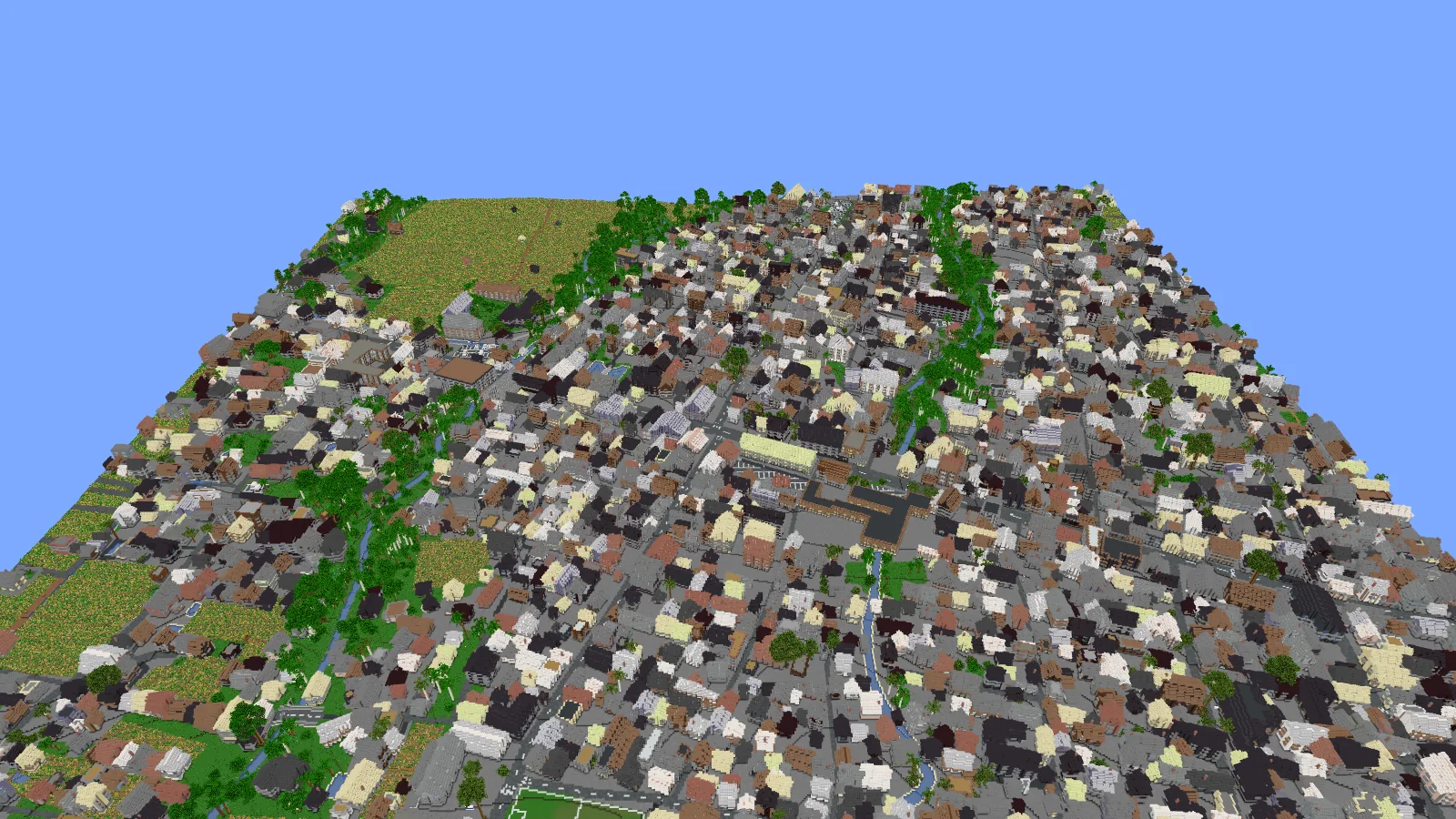
The square kilometre around the Ubud Palace, as the BlockMap app builds it for the search .
Streets, rivers and buildings
The base of every world is OpenStreetMap, the map drawn by millions of volunteers. It holds the roads and paths, rivers, parks and fields, and the outline, height and type of each building that has been mapped. BlockMap turns them into blocks: roads and bridges, water, and buildings with walls, roofs and rooms inside.
In the square kilometre of Ubud shown here, OpenStreetMap has 1,231 buildings.
Buildings that aren't on the map yet
In many towns, most buildings have never been drawn on OpenStreetMap. There, BlockMap adds buildings from the Overture Maps Foundation, which combines OpenStreetMap with buildings detected in satellite and aerial imagery. In Ubud that adds 2,637 buildings, more than twice as many as the map has, and the town fills in.


The same view of central Ubud, built without and with Overture buildings.
What covers the ground
A map shows where the roads and buildings are, but rarely what lies between them. For that, BlockMap reads ESA WorldCover, a map of the whole Earth at 10-metre resolution made from the European Sentinel satellites. It tells forest from fields, grassland, built-up land, bare ground and water, and each kind gets its own ground in the world: Ubud's rice fields become farmland, the gorges keep their grass and forest, and the town gets paved ground.


Left: ESA WorldCover's land cover for the same square kilometre (© ESA WorldCover project 2021 / contains modified Copernicus Sentinel data). Right: the world seen from straight above, north at the top.
- Built-up 68%
- Tree cover 25%
- Cropland 6%
- Grassland 2%
Where the trees stand, and how tall they are
Land cover says where there is forest, but not where each tree is. BlockMap also reads the global canopy height map by the World Resources Institute and Meta, which estimates the height of the treetops for every square metre of land from satellite imagery. Trees grow where that map finds them and as tall as it measures, so gardens, palm groves and the jungle in Ubud's river gorges keep their shape.
Without it, every patch the satellites mark as trees becomes the same even forest.


A river gorge in Ubud, built without and with the canopy height map.
Hills and valleys
The ground rises and falls as it does in reality. Where national laser surveys exist, the heights come from Mapterhorn's elevation tiles. Elsewhere BlockMap uses GEDTM30, a terrain model by OpenGeoHub that measures the bare ground under trees and buildings, so a dense grove does not turn into a hill. In Ubud you can follow the river gorges down into the valleys.
Landmarks we build ourselves
Data can describe a whole town, but not the clock faces of a tower or the rooms of a famous ship. For well-known places, the BlockMap team builds its own models and places them into the world: Big Ben with its clock stage and belfry, Buckingham Palace, the Titanic leaving Southampton, the pyramids of Giza with the passages inside the Great Pyramid, and many more.
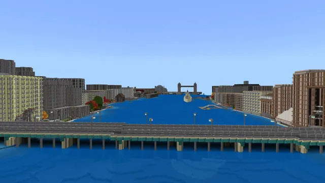 Video tour · 8 stops · 6 flyovers
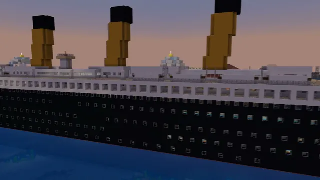 Video tour · 5 stops
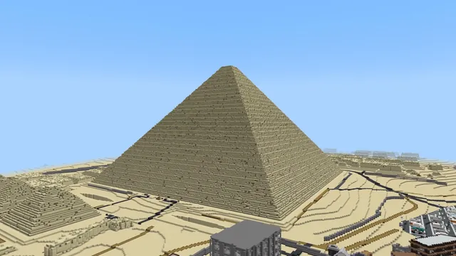 Video tour · 5 stops
Data sources
- OpenStreetMap: map data © OpenStreetMap contributors, under the Open Database License.
- Overture Maps Foundation: buildings (ODbL and CDLA-Permissive 2.0), on the Registry of Open Data on AWS.
- ESA WorldCover 2021: land cover, © ESA WorldCover project 2021 / contains modified Copernicus Sentinel data (2021) processed by the ESA WorldCover consortium, CC BY 4.0, on the Registry of Open Data on AWS.
- High Resolution Canopy Height Maps by the World Resources Institute and Meta: tree heights, CC BY 4.0, on the Registry of Open Data on AWS.
- GEDTM30 by OpenGeoHub (Open-Earth-Monitor project): terrain, CC BY 4.0.
- Mapterhorn: elevation tiles and the sources they credit.
These organisations publish open data; they do not make or endorse BlockMap.
Make your own place in Minecraft
Search any street, school or city. About a minute later it's a world. Your first one is free.